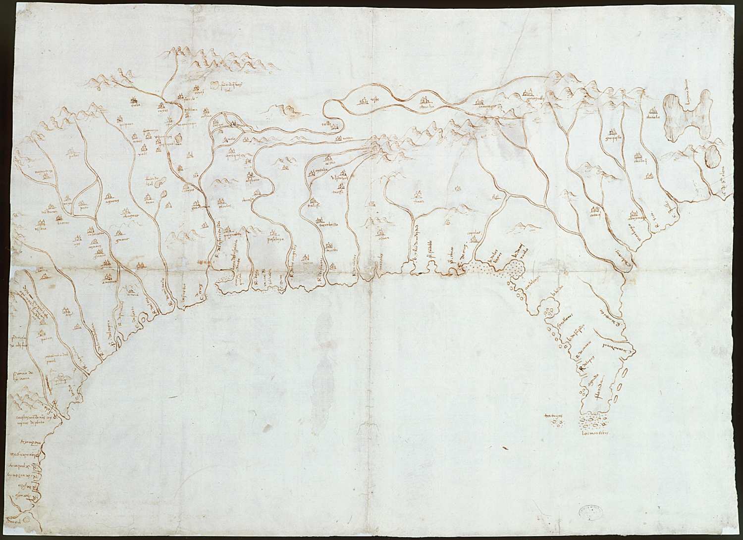
Map of the Mississippi Valley, 1544
From the exhibition:
El Hilo de la Memoria: Espa±a y los Estados Unidos
New Mexico History Museum
First Known Map of the Lower Mississippi Valley, 1544
This map illustrates the gulf and coast of New Spain from the Pánuco River to the Cape of Santa Elena.
Manuscript, drawing in sepia ink, paper
Sevilla. Archivo General de Indias. MP-México, 1.
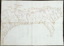
Note: Representative image at left is often cropped for display purposes. Downloaded high-resolution images are not cropped.
